 Skip to content
 - 207-841-2078
- 871 Alexander Reed Rd. Richmond Me 04357

Richmond Maine Drone Construction Services
Drone Construction Services for next job site
Drones are useful for project management. They keep an eye on the project from start to finish, giving real-time information and data to help make good decisions. The photos and videos taken by the drone show how the project is going, so everyone knows what’s happening. Drones give a complete view of how the project is going, so everyone knows what’s going on all the time.
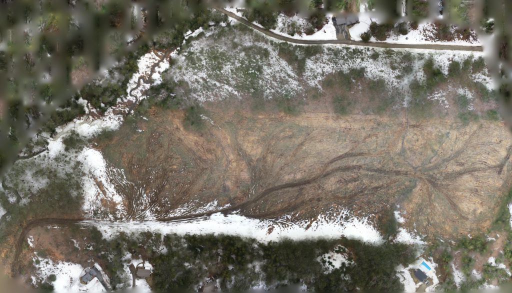
This project was shoot was conducted in 2023 in Richmond Maine at Moose Mountain Adventure Park
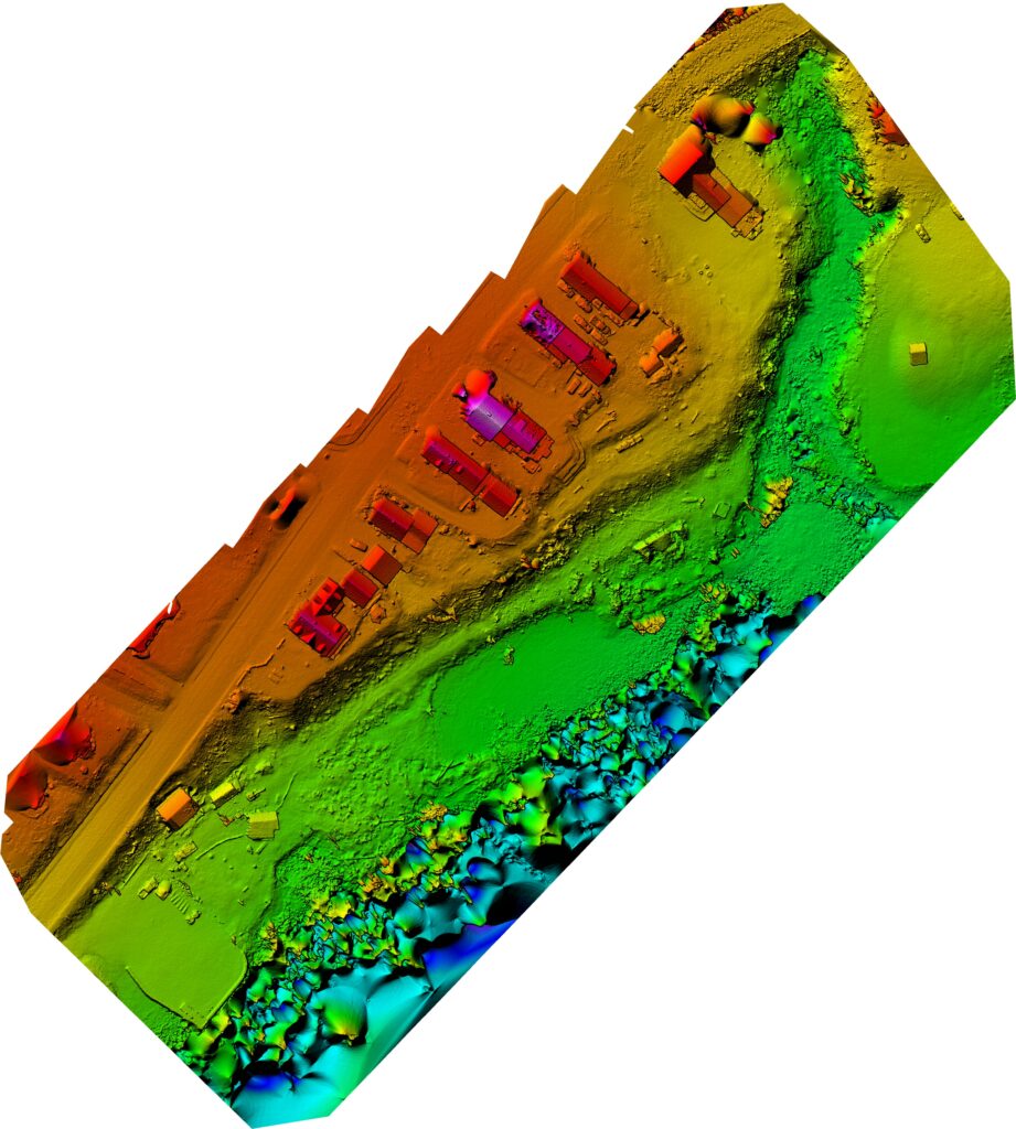
Digital surface models (DSMs) are a powerful and versatile tool for analyzing topographical data. They can be used to visually represent changes in elevation across a given area, making it easier to identify hills, valleys, and other geographic features. This information can be incredibly valuable when planning construction projects, analyzing natural features, or studying the effects of climate change.
Another useful technology in this field is orthomosaic maps. These maps combine high-resolution aerial photography with GPS data to create highly accurate and detailed images of a specific location. The resulting maps can be used to analyze land use patterns, track changes over time, or even to guide emergency responders during a crisis.
Together, DSMs and orthomosaic maps provide an incredibly powerful suite of tools for anyone working in the fields of land management, natural resources, or construction. Whether you need to analyze a small plot of land or an entire city, these technologies can help you make informed decisions and take decisive action.
Drone Construction Progression 2 D map
Aerial Imaging Services of Maine can provide a very valuable service in 2d map progression service.This can show you changes over time which cna be shared online to your stake holders
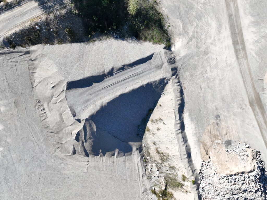
Drone 2d Ortho mosiac image
Drone Stockpile Management Services in Maine.
Keeping track of your stockpiles doesn’t have to be complicated or costly. At Aerial Imaging Services of Maine, we use drone technology to deliver fast, safe, and accurate measurements for gravel, sand, soil, and other bulk materials. Our aerial mapping and volume reports help contractors, quarries, and public works teams across Maine manage materials more efficiently and reduce operational costs.
Benefits at a Glance
Fast and accurate stockpile volume reports
Safer job sites—no climbing or manual measuring
Cost savings compared to traditional surveys
High-resolution 3D mapping and modeling
Reliable data for inventory and planning
Available across Maine and New England
Construction Stills
You can have your Construction still photography posted on the website so your clients can view the different stages of your project.
If you would like to learn about the Benifits of the Use of Drones in Construction check out this article.
If you like my website please share.
