 Skip to content
 Drone Thermal Imaging Unveiled
Imagine a world where the invisible heat emitted by objects becomes a visual tapestry, revealing secrets hidden to the naked eye. Welcome to the realm of thermal imaging, a cutting-edge technology that harnesses the heat signatures of objects to create images and locate them.
Our journey into the fascinating realm of thermal imagery begins with a nod to its military roots. Back in 1929, Hungarian physicist Kálmán Tihanyi crafted the infrared-sensitive electronic television camera, originally designed for anti-aircraft defense in Britain. Fast forward to the present day, and the military continues to leverage the power of thermal imaging. The United States fire service joined the thermal imaging revolution over two decades ago. Initially, the cost to the fire service for this technology was staggering, with early units exceeding $100,000 each. However, the landscape has changed dramatically, making drone thermal imaging accessible to enthusiasts and professionals alike.
P
Evolution of Drone Thermal Imaging
Just half a decade ago, the cost of a thermal payload hovered around $30,000. Today, the landscape is remarkably different, with the DJI Mavic Thermal available for under $6,000. This drastic reduction in cost has democratized access to thermal imaging capabilities, opening up a myriad of possibilities.
Unveiling the Versatility: Use Cases for Thermal Imaging Drones
Human, Animal, and Object Detection: – Every living being and even inanimate objects emit a unique thermal signature. Drone thermal imaging allows for the detection of humans, animals, cars, trucks, electrical equipment, and structures.
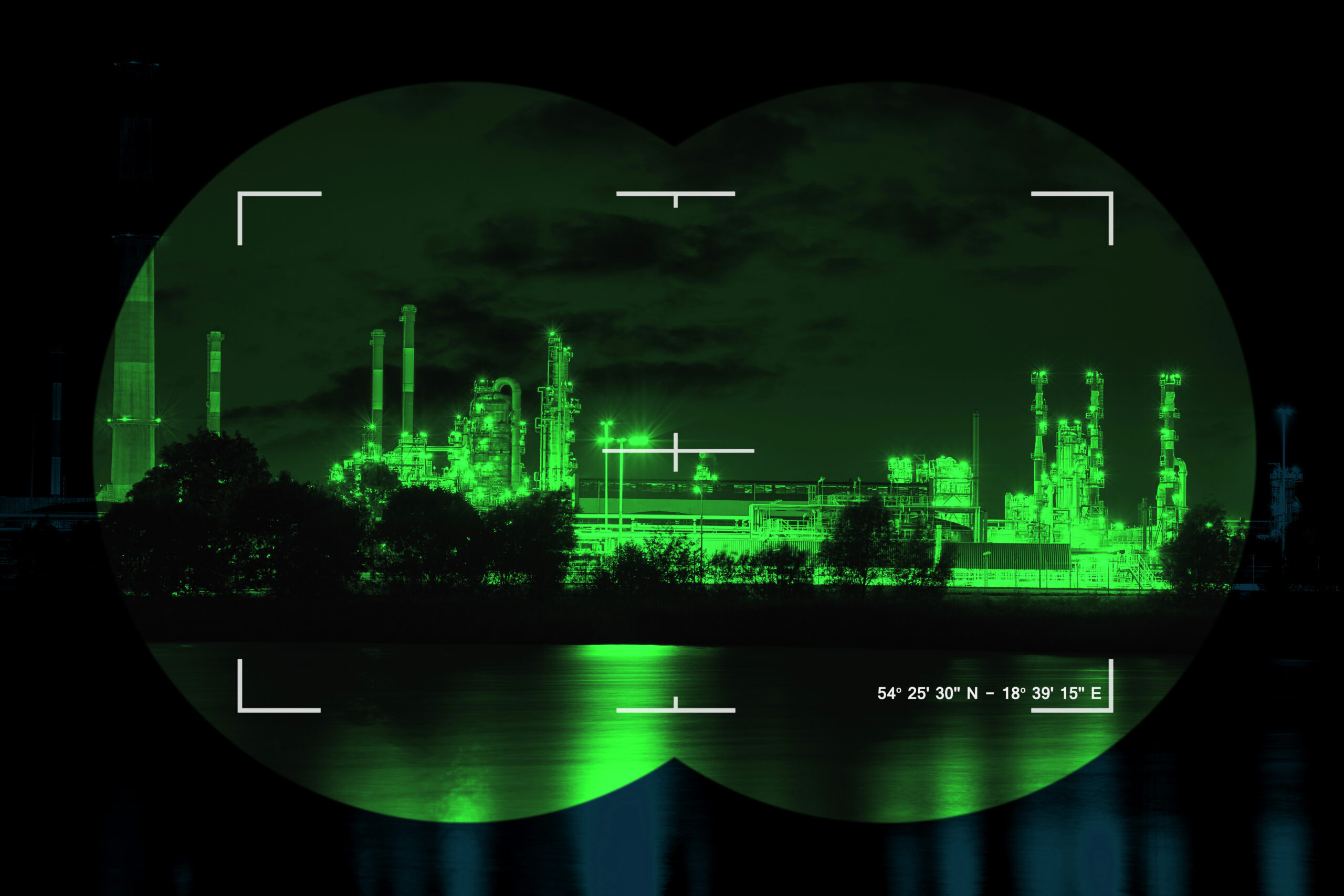
Military Applications
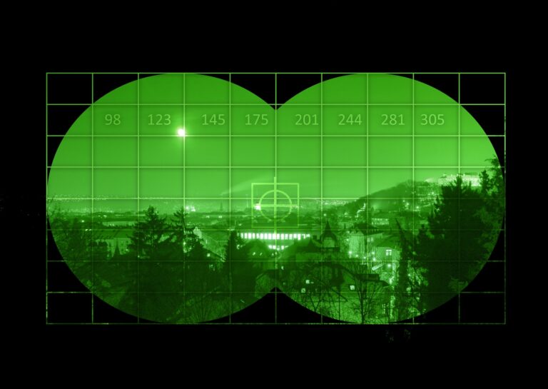
The military has embraced drones equipped with night vision and thermal capabilities for surveillance and reconnaissance. Whether in the air, on the ground, or in vehicles, the heat signatures of potential threats are visible to these advanced drones, especially during the cover of night.
Search and Rescue Missions
Search and rescue operations worldwide benefit from drone thermal imagery. Locating lost hikers or individuals in challenging terrains becomes more manageable, enhancing the chances of a successful outcome.Mountain rescue teams world wide are harnessing the power of thermal imagery to improve the success rate in find lost individuals.

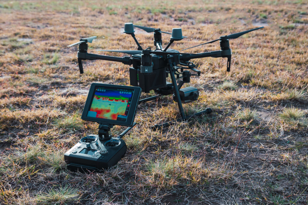
Inspection Revolution
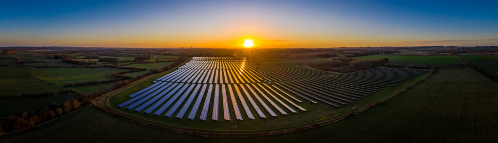
Drones can identify areas of high heat on solar panels during the inspection of a solar field. just imaging the benefits to beable to find 40 damaged solar panels in the photo below.This was almost unheard of 10 years ago. The savings using drones to complete the solar inspections are immense. The potential of drones with thermal imagery in inspections are vast. While strides have been made in electrical infrastructure inspections, the commercial and residential sectors present untapped opportunities. Identifying issues like overheating HVAC units or areas of heat loss in buildings can lead to significant energy savings.
Wildlife Management and Conservation
In the ongoing debate over using thermal hunting drones for recovering deer carcasses, these technological tools emerge as a humane aid for hunters. The controlled use of thermal drones can assist in finding wounded or lost animals while preserving the overall wildlife population.There is a company called “Drone Deer Recovery” in the Midwest who are challenging the status quo. They are working for the Law abiding hunters to help them recover their deer humanely and ethically.Isn’t that what we want as a society? Not to waste our natural resources.
Population Surveys
Traditional methods of surveying wildlife populations involved time-consuming efforts using vehicles or planes. With thermal hunting drones, the process becomes more efficient and cost-effective. Identifying and counting animals with thermal imaging enhances survey accuracy and reduces human hours required for the task.
Looking Ahead: The Future of Drone Thermal Imaging
As we continue to unlock the full potential of drone thermal imaging, the applications and benefits are poised to expand. From enhancing security measures to revolutionizing wildlife conservation efforts, these technological marvels are proving to be indispensable in various fields. In the state of Maine, where outdoor activities like hunting and fishing thrive, the integration of drone thermal imaging into these pursuits could mark a groundbreaking development. Imagine a hunter equipped not only with traditional skills but also with the power of thermal vision, making wildlife recovery more efficient and humane. As your drone services provider company aims to grow, the opportunities in the thermal imaging sector are ripe for exploration. From assisting in local search and rescue missions to contributing to wildlife management efforts, the potential impact is immense.
Conclusion:
To know more about drones and technology check out my Blog post. If you would like to know more about drones services click here. Do you have questions about drone thermal imaging or initiating a drone program for your company? Feel free Contact me at Aerial Imaging services of Maine
